Tue, Apr 16: Manhattan

We then drove (mostly dirt roads) to Manhattan for lunch.


However, the only place in town that served food no longer could cook meals, since the health inspector said they did not have a proper commercial kitchen.  But they could serve pre-packaged food, so we had a frozen pizza.

We had a nice conversation with the lady tending bar.  She had run the Bed and Breakfast in Belmont for a while.  Before that she did agriculture apprasals for Bank of America.  And had other interesting jobs along the way.

The original church:


Tue, Apr 16: Round Mountain

We then drove to Round Mountain to see the open pit gold mine.  Either rain or snow coming down in the distance:


Quite a site – The dirt they piled dirt up created artificial hills (the low hills in front).  And when they are done, they will fill the hole back up again.


They had 150, 190, and 240-ton haul trucks hauling the dirt out.  The pit was 1 ½ miles long and 1 mile wide.  We could not see the bottom from our vantage point. 


Lots of weather happening:


The town of Round Hill:


We ate dinner back in Tonopah at the Mizpah Hotel – very good food.


Tue, April 16: Goldfield, NV

After eating, we drove to Goldfield to check into our room.  Goldfield had some interesting buildings:


Wed, Apr 17: Goldpoint, NV

It is still cold, in the 30’s, and windy, also in the 30’s, so we decided not to visit the various mining sites around Goldfield, nor the Tonopah Historic Mining Park or the Central Nevada Museum, but to take a drive instead.  Although, we did end up stopping at a couple of “ghost towns” anyway.  We just did not do as much exploring as we would have if it had been warmer. 


Goldfield to route 266.  Took a side trip to Goldpoint ghost town.  26 residents,


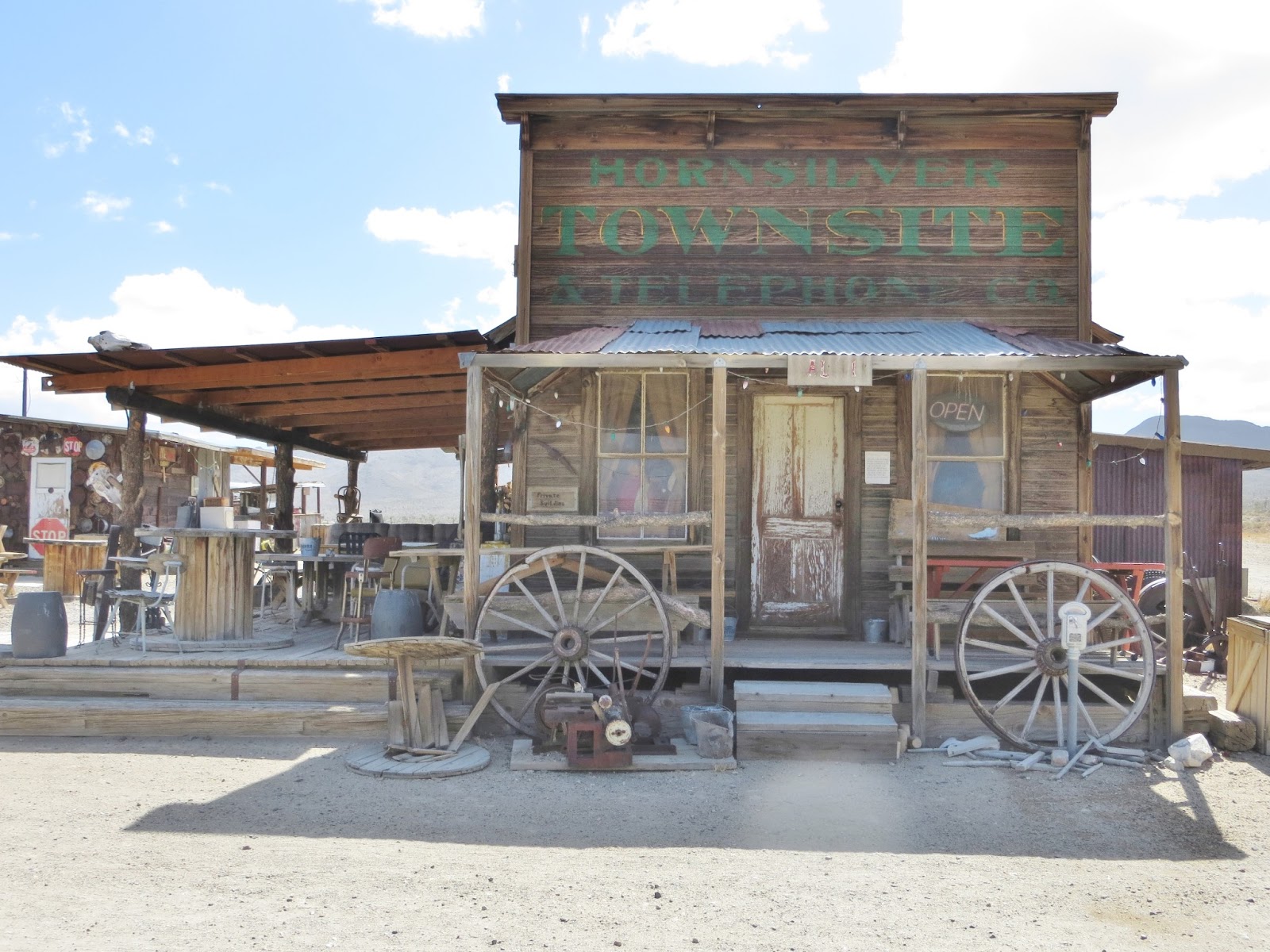
but a well preserved ghost town.  They had shops and a saloon, all closed for the season.  Settled about 1880 – 1882, then again 1908 – 1909 (silver strike), with 800 residents, and 11 saloons.  Small booms and bust since then.


Wed, Apr 17: Palmetto and Ancient Bristlecone Pine Forest

Then back to 266 to 168 toward Palmetto:


 stopping at Palmetto, first settled in 1866 as a tent city, which just had a couple of ruins.


Then onto to Big Pine, through Deep Springs Valley.  More lonely roads, but spectacular views of the Sierras.  


And we took a side trip to visit the Ancient Bristlecone Pine Forest, CA (10,000 feet elevation).  The views were incredible, but it was too cold to get out and hike, and we were not dressed for it.

Sierra views:


Bristlecone Pines: